Shigola With OL Mapbox Style (OLMS)
Introduction
Shigola is a vector tile server written in Go. Shigola takes geospatial data from a PostGIS Database and slices it into vector tiles that can be efficiently delivered to any client.
OLMS is a library used to take Mapbox stylesheets and convert them into OpenLayers scripted styles.
This guide will show you how to use OLMS to convert and utilize a Mapbox style to render a map using OpenLayers.
Getting Started
To get setup for using OLMS you'll need a Shigola source, a Mapbox stylesheet, and the OLMS library.
Shigola source
The first thing you'll need is a Shigola endpoint. You can either set up one locally by following the instructions located in the Shigola docs or you can use an existing endpoint.
For the following example we'll be pulling in data from the Tegola demo instance hosted at https://tegola-osm-demo.go-spatial.org.
Get a Mapbox stylesheet
You may either pull a Mapbox stylesheet from Mapbox directly using an API key, you can craft your own, or you may use a stylesheet provided in this repo in the style directory.
For the following example we'll be using the stylesheet here https://tegola-osm-demo.go-spatial.org.
Note that stylesheets are specific to the layers of a source endpoint. Ensure that whatever styles you are using are compatible.
Grab the OLMS script
Either get the js file from the OLMS repo or you can link to it from these docs here: https://tegola-osm-demo.go-spatial.org.
Set up the HTML
Next, we make an HTML page that will show the map. The following is a minimal example HTML page for rendering a map with OpenLayers and OLMS. Copy and paste the following code into an empty file and name it index.html.
<!doctype html>
<html lang="en">
    <head>
        <link rel="stylesheet" href="https://openlayers.org/en/v4.5.0/css/ol.css" type="text/css">
        <style>
            #map{height:600px;width:100%;}
        </style>
        <script src="https://openlayers.org/en/v4.5.0/build/ol.js" type="text/javascript"></script>
        <script src="olms.js" type="text/javascript"></script>
        <title>OpenLayers example</title>
    </head>
    <body>
        <div id="map"></div>
        <script type="text/javascript">
            olms.apply('map','hot-osm.json');
        </script>
    </body>
</html>
The piece that is doing all the heavy lifting here is olms.apply('map','hot-osm.json');. The first argument map is the id of the tag where the map will render. The next, hot-osm.json is the path to the style json file in Mapbox style format. Note that there is no source declaration in this HTML file. That is being defined as https://tegola-osm-demo.go-spatial.org inside the hot-osm.json file.
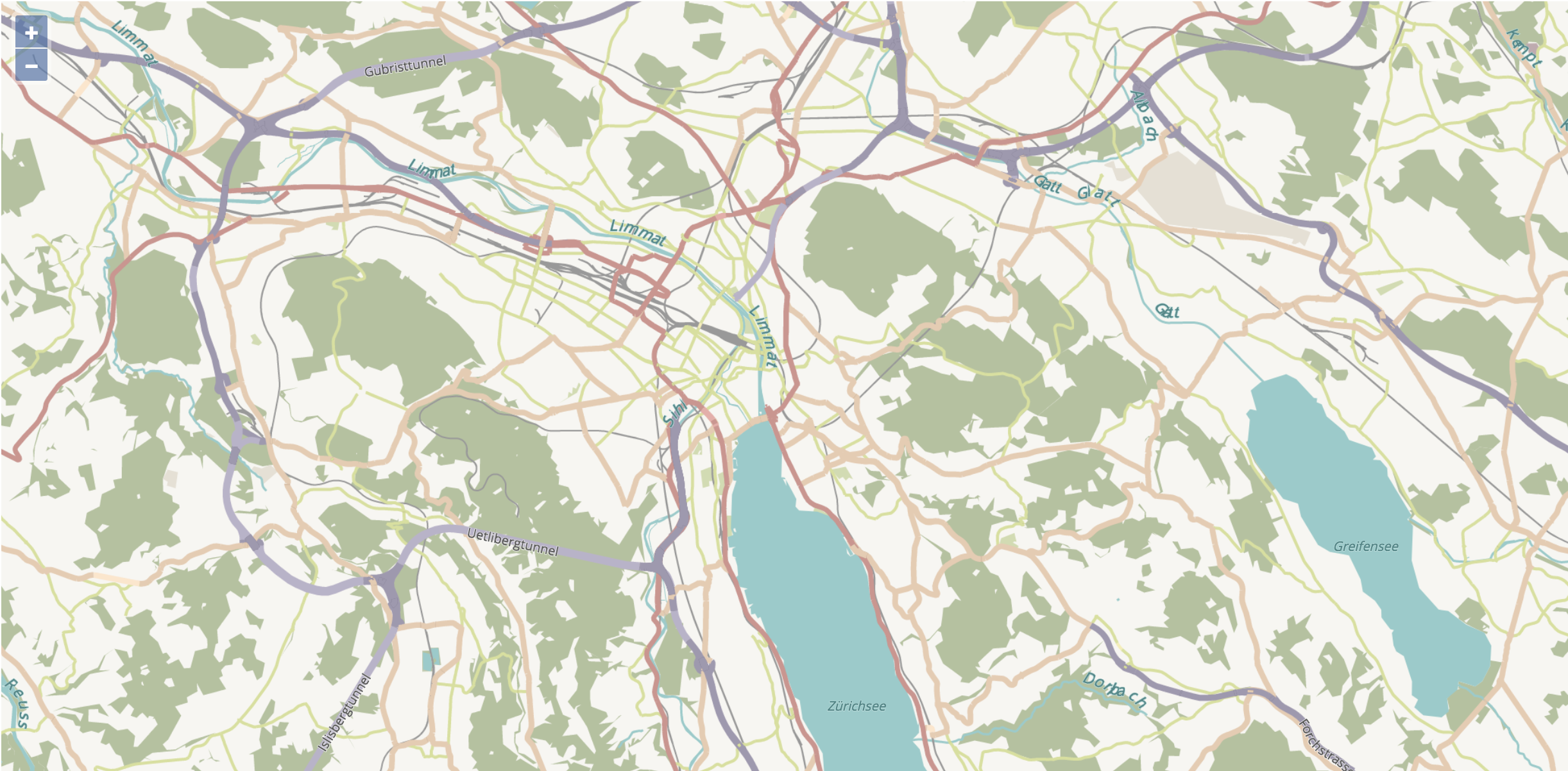
And here's what you should see when you open up a browser:
For more information on using OLMS, check out the official documentation: OL Mapbox Style.